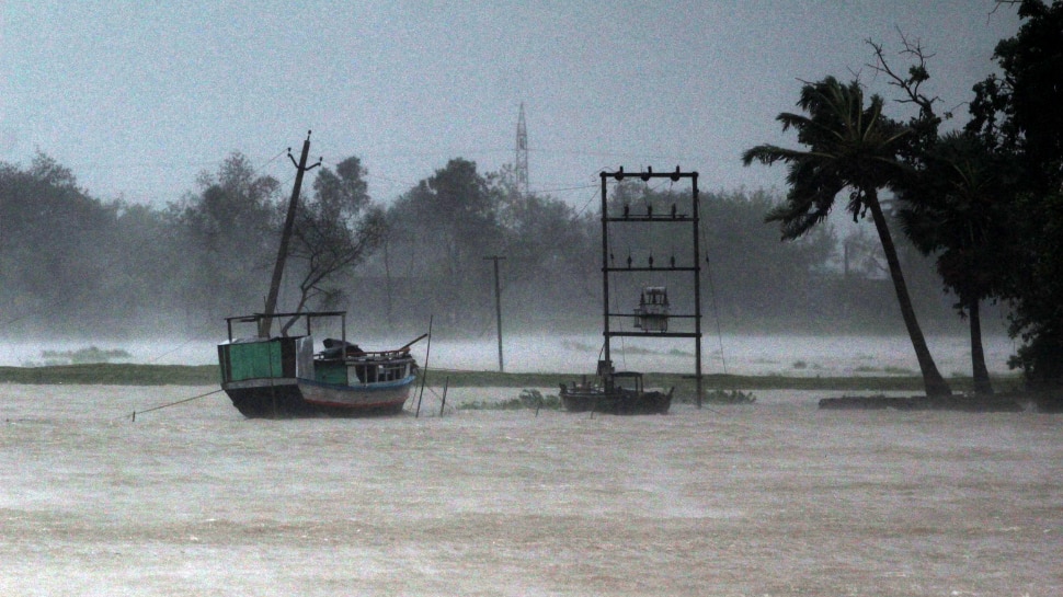
Cyclone Dana Landfall Updates: A ‘low pressure area’ over the Bay of Bengal is projected to strengthen into a cyclonic storm by October 23, according to the India Meteorological Department (IMD). This cyclonic disturbance is expected to impact the coasts of Odisha and West Bengal.
The IMD released a special bulletin on Sunday stating that an upper air cyclonic circulation over the North Andaman Sea and nearby Bay of Bengal has developed into a low-pressure area over the east-central Bay of Bengal and adjoining North Andaman Sea early Monday morning. “It is very likely to move west-northwestwards and intensify into a depression by October 22 morning and into a cyclonic storm by October 23, over eastcentral Bay of Bengal,” the met department added.
Cyclone Dana’s Projected Pathway
Cyclone Dana is expected to affect the coastal regions of northern Andhra Pradesh, Odisha, West Bengal, and Bangladesh.
The cyclonic storm is forecasted to strike the Odisha-West Bengal coast this week. While the exact landfall location remains uncertain, two major weather models, IMD-GFS and ECMWF, suggest the system may make landfall in Puri, according to a report by SambadEnglish.
Gusty winds with speeds of 40-50 kmph to 60 kmph, are expected to hit the Odisha-West Bengal coasts from the evening of October 23. The wind intensity is predicted to escalate, reaching 100-110 kmph, with gusts up to 120 kmph, from the night of October 24 into the morning of October 25.
Light to moderate rainfall is also likely in West Bengal and Andhra Pradesh.
(With PTI inputs)

