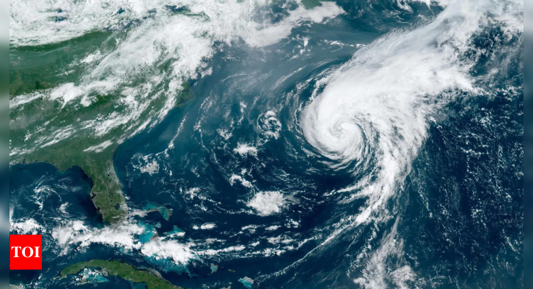
The next tropical depression or storm of the 2024 Atlantic hurricane season could develop by early next week, potentially becoming the sixth named storm of the season.
A broad area of low pressure has formed in the Atlantic, about halfway between Cabo Verde and the Lesser Antilles, with a medium chance of development over the next seven days as it tracks westward.
New disturbance off West Africa
Adding to the activity, the National Hurricane Center (NHC) has identified a new potential tropical disturbance that emerged off the west coast of Africa on Thursday evening, according to Fox Weather.
Currently just a disorganized area of thunderstorms, the system shows potential for slow development as it drifts over the eastern Tropical Atlantic.
The NHC estimates a 20% chance of development over the next seven days.
The next name on the 2024 Atlantic hurricane season list is Francine. The system is forecast to move westward, reaching the Lesser Antilles by early next week.
Development likely for Atlantic tropical wave
Meanwhile, the NHC has been closely monitoring a tropical wave that has traveled halfway across the Atlantic. Thunderstorms within this system have become more concentrated near its axis, with environmental conditions now more favorable for gradual development.
According to Fox Weather, this system could become a tropical depression by early next week as it moves westward at 10 to 15 mph, approaching the Lesser Antilles.
The NHC has increased the odds of development to 50% within the next week. “The disturbance is moving more slowly than many systems we track through the tropical Atlantic, so it’s going to take through the weekend before it approaches the Caribbean,” said a Fox Weather hurricane specialist.
Although there is still uncertainty, some forecasts suggest the system could develop into a significant tropical storm or even a hurricane.
Impact on the Lesser Antilles and beyond
Regardless of the exact track, the Lesser Antilles could experience heavy rain and gusty winds as the system moves through. However, it is still uncertain where the system will go once it reaches the Caribbean and whether there will be any potential U.S. impacts.
The strength of the Bermuda High and the resulting upper-level pattern will play a significant role in determining the system’s track next week.
This “Potential Francine” is developing in a common area for tropical activity during this time of year. September is the busiest month of the hurricane season in the Atlantic, so enhanced tropical development is anticipated in the coming weeks.
Everyone in the eastern and northeastern Caribbean is advised to stay informed over the weekend, as conditions may support further development of these systems.

